What if your morning run linked to a 71‑mile greenway, your weekends offered reservoir paddling, and your weekday commute stayed manageable? If you are weighing a move to Centennial, you are likely looking for that balance of outdoor access, family‑friendly parks, and practical connectivity. In this guide, you will see where active living truly fits your routine: trail networks, recreation districts, indoor hubs for winter, and the neighborhoods many buyers compare. Let’s dive in.
Why Centennial fits active life
Centennial sits on Denver’s south side and gives you a deep bench of daily outdoor options. The City cites more than 100 parks, about 100 miles of trails, and over 4,000 acres of open space across city and partner‑managed lands. You can use these assets for quick loops before work or full‑day adventures on weekends. It is an easy way to keep movement a default, not a special trip.
For planning context, the mean travel time to work in Centennial is about 25.8 minutes. That baseline helps you judge how a specific neighborhood might fit your schedule. The city’s size and I‑25’s central spine mean micro‑location matters when you balance trail access with commute goals.
- Explore the City’s parks and trail overview for a full snapshot of outdoor assets: City of Centennial Parks, Trails & Open Spaces
- See commute and housing stats: U.S. Census QuickFacts for Centennial
Regional anchors you will use
Cherry Creek State Park
On Centennial’s eastern edge, Cherry Creek State Park anchors four‑season recreation. The roughly 4,200‑acre park wraps an approximately 880‑acre reservoir, with a swim beach, boating, paddling, camping, and about 35 miles of multi‑use trails. If water and long trail loops are part of your routine, this is your closest big‑nature fix.
- Park details, maps, and reservations: Cherry Creek State Park
High Line Canal Trail
The High Line Canal is a 71‑mile linear park that threads through the south metro, including Centennial. It is a go‑to route for runners, families, and bike commuters because it links neighborhoods with a mostly off‑street experience. Many buyers choose homes near canal access points to make daily movement simple.
- Overview and segment planning: High Line Canal Conservancy guide
Recreation districts and indoor hubs
Centennial partners with multiple park and recreation districts, which shape where you swim, take classes, and join leagues. Boundaries and fees differ by district, so check your address.
- Find your service area: Park & Recreation Districts in Centennial
Two indoor facilities stand out for year‑round activity. Goodson Recreation Center (served by South Suburban Parks & Recreation) offers pools, courts, fitness, and programs near popular canal segments. On the east side, the Trails Recreation Center (operated by Trails Park & Recreation District) provides a full aquatic complex, gym spaces, and class programming for all ages.
- Programs and membership info: Trails Recreation Center
Trails and connections that shape daily routines
You will find a network of multi‑use paths beyond the canal. The Willow Creek and Big Dry Creek corridors, Centennial Link, and local greenways stitch together parks, schools, and shopping nodes. These routes support morning runs, after‑dinner rides, and off‑street bike commutes.
Centennial and regional partners continue to close gaps. For example, planned sidepath improvements along Arapahoe Road are slated for 2024 to 2027, improving east‑west bike and pedestrian access. If a mixed‑mode commute is on your radar, note these projects as you compare locations.
- See the project listing: Arapahoe Road sidepath improvements
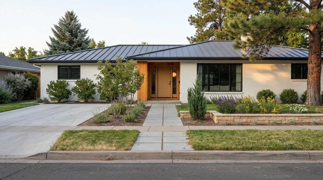
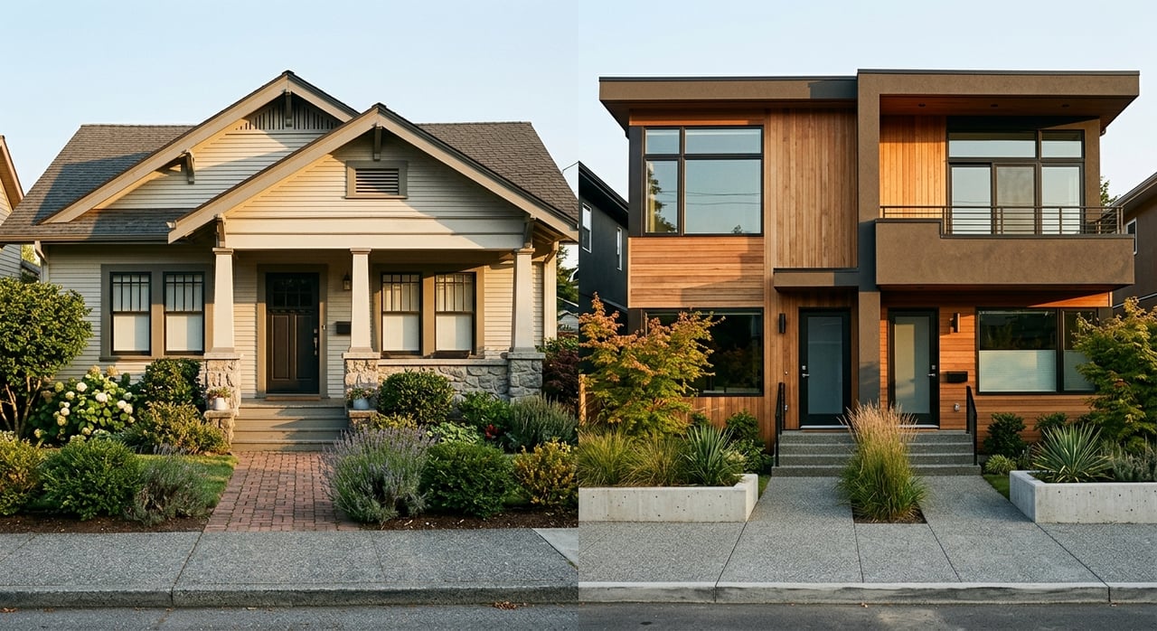
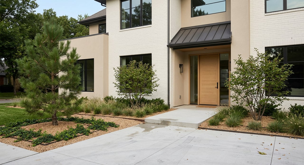
Neighborhoods to compare
SouthGlenn and The Streets at SouthGlenn (central)
If you want errands, dining, and fitness close by, this mixed‑use node is a strong match. Housing options trend toward townhomes, condos, and apartments near retail and programmed public space. City notices show an ongoing master plan that adds more walkable housing near the retail core, which supports a leave‑the‑car‑at‑home lifestyle.
- Learn about the city’s planning direction: Streets at SouthGlenn master plan update
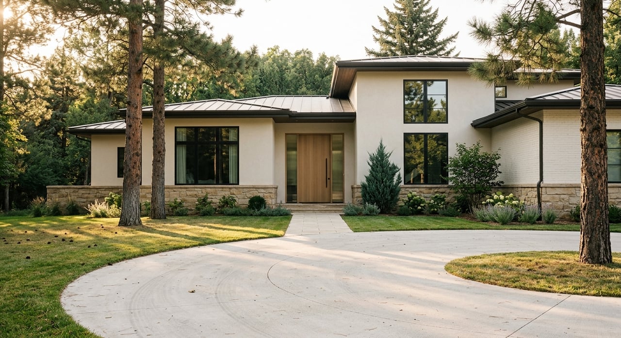
Northwest edge near I‑25 and DTC
Subdivisions on the I‑25 edge offer the shortest drives to the Denver Tech Center and quick access to RTD light rail. Many buyers here prioritize commute efficiency while still having neighborhood parks and canal‑adjacent trails nearby. It is a practical fit if your workday starts in DTC and you want evenings on a bike or trail.
- Transit option to consider: RTD Dry Creek Station park‑and‑ride and light rail
Central neighborhoods by Centennial Center Park
Close to the city’s 11‑acre civic park, you gain splash‑pad summers, an amphitheater, and frequent community programming within a short walk. Pair this with South Suburban trail access nearby and you get balanced suburban living. It is convenient for families who like frequent, low‑effort outings.
- Event hub and play space: Centennial Center Park
East toward Cherry Creek State Park
If long trail loops and reservoir access top your wish list, eastern addresses shorten your weekend drive to Cherry Creek State Park. You trade a little commute time to DTC or downtown for immediate nature. For many, that is a fair exchange.
Southern and eastern transitions toward Parker and Highlands Ranch
Here you will see varied lot sizes and some newer subdivisions. The draw is space and newer housing options, balanced against longer commutes depending on your exact address. Always test your drive at your usual departure times.
Getting around: drive, rail, bike
I‑25 is your north–south spine. Arapahoe Road, Smoky Hill Road, Parker Road, and E‑470 or C‑470 handle most east–west and ring trips across the south metro. Because Centennial spans both sides of I‑25, a home a few minutes farther east may gain you quick access to Cherry Creek State Park but add minutes to some commutes.
For a commute baseline, Centennial’s mean travel time is about 25.8 minutes. Many northwest and central neighborhoods are within roughly 10 to 20 minutes of DTC by car under moderate traffic. Conditions shift by time of day, so map door‑to‑door trips to confirm what daily life feels like.
Light rail offers a useful alternative for some routes. Dry Creek Station sits within Centennial’s address area, and Arapahoe at Village Center is just next door to DTC. You can pair a bike ride on local trails with a park‑and‑ride to keep your commute consistent.
Buyer checklist for an active lifestyle
- Confirm your recreation district and what it includes. Check boundaries and membership details on the City’s Park & Recreation Districts page.
- Map your daily commute. Use live tools to test drive or rail times at your typical departure. Many DTC trips from northwest and central areas fall in the 10 to 20 minute range under moderate traffic.
- Measure your distance to water and long loops. If Cherry Creek State Park is a priority, preview its facilities and trail map on the park’s official page.
- Trace your trail connections. The High Line Canal Conservancy guide helps you locate nearby access points and plan segments.
- Review HOA amenities and school district boundaries. Many subdivisions include pools, courts, or maintained greenways, and addresses can fall into different districts. Verify details and boundaries before you write an offer.
- Plan for winter. Goodson Recreation Center and the Trails Recreation Center offer indoor pools, courts, and classes when the weather turns.
Work with a local advisor
If you want a home that makes movement effortless and keeps your commute aligned with your life, start with a neighborhood‑first plan. We help you weigh micro‑location tradeoffs, rec district boundaries, and trail access with the same care you bring to floor plans and finishes. When you are ready, connect with Crowell Realty for concierge guidance and access to opportunities you will not find in a basic search.
FAQs
What makes Centennial ideal for active living?
- You get citywide access to more than 100 parks, about 100 miles of trails, and over 4,000 acres of open space, plus indoor hubs for year‑round activity.
Which Centennial areas are closest to Cherry Creek State Park?
- Neighborhoods on the eastern side shorten drive times to the park and its reservoir, which is helpful if paddling and long loops are regular parts of your week.
How does the High Line Canal support daily routines?
- The 71‑mile trail links neighborhoods across the south metro, giving you off‑street routes for runs, family rides, and bike‑to‑rail commutes.
Can I take light rail to work from Centennial?
- Yes. Dry Creek Station sits within the Centennial address area, and Arapahoe at Village Center is nearby, offering rail service and park‑and‑ride options.
What is the average commute time for Centennial residents?
- The mean travel time to work is about 25.8 minutes, but door‑to‑door times vary by exact address and departure time.
Why should I check my recreation district before I buy?
- Districts set program access, fees, and facility options. Knowing your district helps you plan classes, swim seasons, and membership costs with confidence.